Hyunjoo Yang

Data

Data sets built for my research. Please cite the paper listed with each data set.

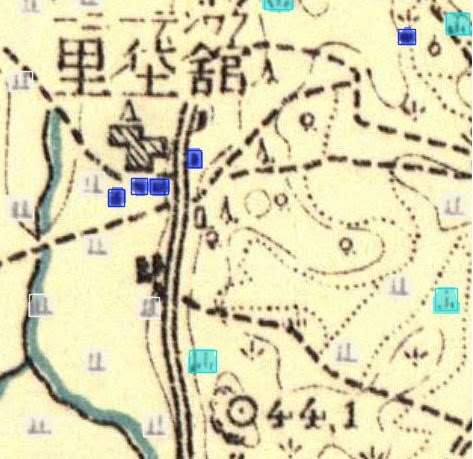
Houses detected on a 1918 topographic map (boxes).

1 km grid-level data, 1918 and 1970 (residential settlement and rice)

Residential settlement and rice cultivation on a 1 km grid for South Korea, measured from historical topographic maps.

Cite Yang, Hyunjoo, Izzat Hassan Bin Halim, and Jeongeun Kim (2026). Measuring Historical Settlement and Agricultural Structure from Topographic Maps: An Object Detection Approach for South Korea, 1918 and 1970.
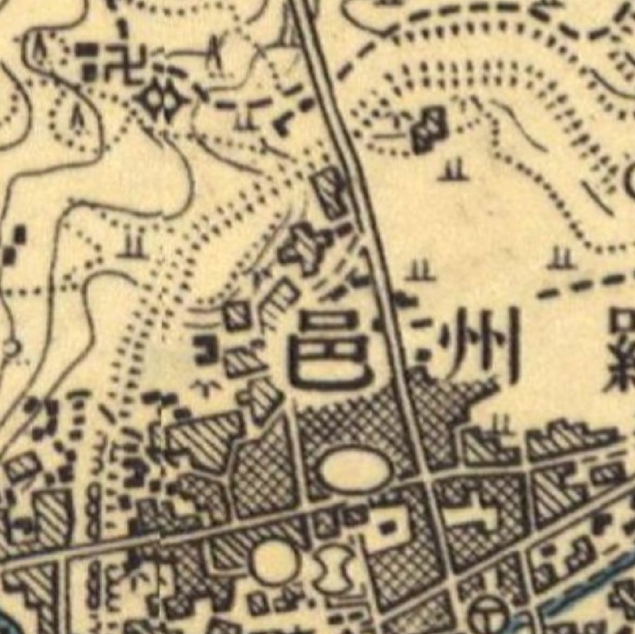
1918 map1918 map
LabelsLabels
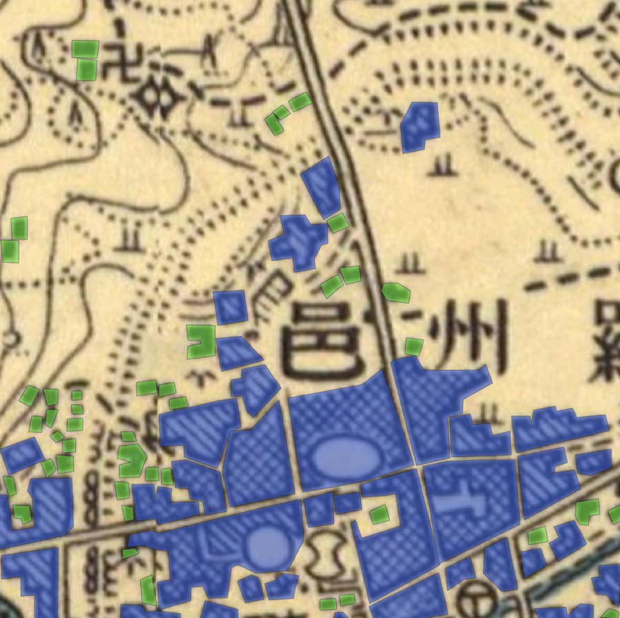
Labeling example on a 1918 sheet. Green: individual house symbols. Blue: built-up blocks, drawn as hatched or solid areas on the map.
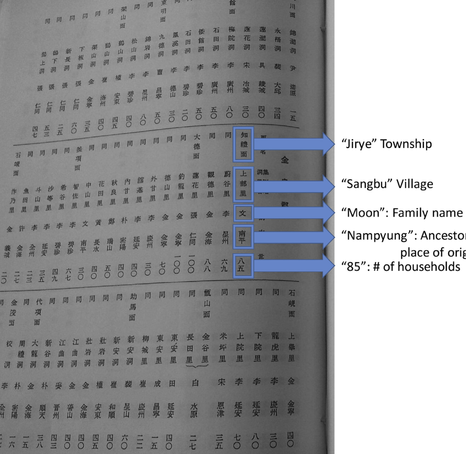
A page of Surnames of Korea (1930): township, village, surname, ancestral seat, and number of households.

Family clan data, 1930

Village surname data from the supplementary survey to the 1930 National Census, published by the colonial government as Surnames of Korea (朝鮮の姓), digitized by Hyunjoo Yang.

Cite Yang, Hyunjoo (2019). Family clans and public goods: Evidence from the New Village Beautification Project in South Korea. Journal of Development Economics, 136.